
The Rhine
Factfile
Length: 1,230 km
Sources: Vorderrhein, Hinterrhein
Key Tributaries: The Thur, Töss, Glatt, Aare and the Wutach
Basin area: 185,000 km²
Countries within: Switzerland, Liechtenstein, Austria, Germany, France & The Netherlands
Basin Population: 48.731 million
Discharge: 2,000 m³/s
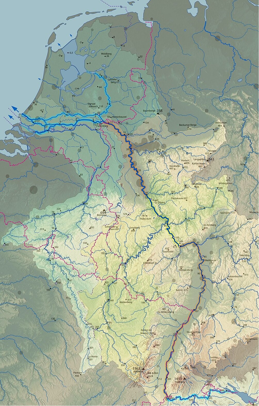
Map showing the Course of the Rhine W. Wasser (2017) CC BY-SA 3.0
Physical Geography
As one of Europe’s major fluvial system the Rhine flows for a length of 1,230 km from its sources of Vorderrhein and Hiterrhein in Switzerland through liechtenstein, Austria, Germany, France and finally the Netherlands to its mouth where it drains into the North Sea. The catchment area of the Rhine covers 185,000 km², which is much smaller relative to the other major river systems of the world however the Rhine goes through many changes along the course in both regional climatic settings and also the geomorphological setting that is seen for the Rhine. The Rhine itself is significantly shorter than it would be if it was to follow its natural course, this is as a result of anthropogenic interference within the basin with the canalisation of the river since the 19th century. As such below the overall setting of the Rhine will be analysed to develop an understanding of the physical setting of this fluvial system.
Formation/Geology
The Rhine’s waters originate from glacial melt within the swiss alps with the river splitting and branching into many streams that rejoin the main course of the Rhine as it moves across continental Europe. This section of the Rhine is known as the Alpine Rhine, flowing through the glacial Rhine Valley, as it flows through the Alps the course of the Rhine has been altered from its natural river bed diverting the flow of the water to Lake Constance.
At the mouth of the Rhine as it discharges into Lake Constance an inland delta is formed as a result of the deposition of material generated along the initial stretch of the Rhine. At Lake Constance the Inland delta is bound by modern canal sections in the East and the Old Rhine in the West. Lake Constance is situated at the border of Germany, Austria and Switzerland within the Alps, the Lake discharges the waters that form the High Rhine westward flowing over the Rhine Falls where the river is joined by a major tributary the Aare. At this point the Rhine continues to flow westward acting as the rough border between Germany and Switzerland before beginning to flow into the Upper Rhine. The High Rhine is a stretch of river that has been heavily modified as a result of anthropogenic actions damming this section of the Rhine, however, within the few remaining natural sections of the river the presence of rapids can still be found.
As the river flows into the Upper Rhine the river begins to flow Northward following a major bend in the river known as the Rhine Knee where it travels along the Upper Rhine section of the river. This section of the river has become heavily modified as a result of the 19th century river straightening program increasing the flow rate in the region while reducing the groundwater recharge as well as reducing the risk of flooding throughout this stretch of the river. As the river continues to flow into Germany we enter the Middle Rhine, which flows through the Rhine Gorge in the Rhenish Slate Mountains. Along this section of the river there is a drop of 27 m from 77.4m above sea level to 50.4 m.
The Rhine continues to flow throughout Germany entering the North German Plain, at this point the Rhine enters the lower Rhine section where there is another significant drop in elevation from 50 m to 12 m. Similarly to the Upper Rhine this section of river previously had a natural geomorphology with a meandering river course, however, this changed with anthropogenic actions implementing a solid river bed that prevents this movement from occurring. This section of the river has greatly industrialised with the cities of Cologne, Dusseldorf and Duisburg being situated along the banks of the Rhine. Following Duisburg, the industrialised nature of the Lower Rhine gives way to agricultural land as the river flows.
As the Rhine flows through the Netherlands it is joined by the rivers Meuse and Scheldt helping to form the final section of the river, an extensive deltaic system known as the Rhine-Meuse-Scheldt Delta, which is 25,347 km2 and is the largest delta in Europe. The Rhine continues to flow northward until it reaches the Netherlands where the course changes to a westward direction entering the country in the town of Spijk. At this point the Rhine splits into three distinctive distributaries: the Waal, Nederrijn meaning Nether Rhine and the Ijssel. At this point the course of the Rhine gets convoluted with two thirds of the Rhines water volume flowing westward through the Waal before merging with the Meuse, following a section of river that is both natural and canalised, where the water is discharged into the North sea via the Haringvliet Estuaries. The remaining third of the total volume of water from the Rhine through the Pannerdens canal before entering both the Nederrijn and the Ijssel. Of the remaining third of the water from the Rhine, a third (1/9 of the total Rhine volume) of this volume flows along the course of the Ijssel northward to Ijsselmeer, while the Nederrijn takes the remaining two thirds (2/9 of the total Rhine volume) of the river westward along a course of the river that is parallel to the Waal. However, the Nederrijn then changes its name to the Lek in central Netherlands continuing to flow further west joining the Noord and then Nieuwe Maas at Kinderdijk, a village in southern Netherlands, before the river enters the North Sea.
The Rhine-Meuse-Scheldt Delta (RMS delta) is an extremely important natural region within the Netherlands beginning near Millingen aan de Rijn, near the Dutch-German border with the division of the Rhine into the previously mentioned distributaries. The Delta itself has been heavily modified with the many engineering feats that have taken place across the Netherlands to maintain itself in the face of an ever changing environment. The RMS delta itself is shaped as a result of both the sediment supply and the tidal currents located in this region, however, the deltaic region of the Netherlands was susceptible to major land loss with changes in climate and tidal patterns across the region as such anthropogenic actions were taken to maintain the current setting of the delta. The anthropogenic actions can be seen with the Delta Works, an engineering project throughout the 20th century that protected a large area of the RMS delta through the use of Dams, Locks, Dykes, Levees and even Storm-surge barriers reducing the impact of climatic and tidal changes on the delta, protecting the region from drastic environmental change.
Geomorphology
Inland Rhine Delta - Within the upper course of the Rhine, more specifically the Alpine Rhine, the river flows into Lake Constance it loses its capacity to transport materials downstream therefore the sediments are deposited forming the inland delta over many years. The delta has an area of 20.65 km2 of which over half is submerged at a depth of a few metres. The Inland delta within Lake Constance acts as a nature reserve and bird sanctuary and is especially important for the biodiversity within the Rhine basin with the region being of significant importance the inland delta has been recognised and protected as a part of the Natura 2000, protected ecosystems within the European Union.
Rhine Gorge - The Rhine gorge, also known as the Upper Middle Rhine Valley, is a UNESCO protected world heritage site that spans a 65 km stretch of the Rhine. The landform is located in a region of sedimentary geology mainly slate that underwent the process of becoming fold mountains as a result of tectonic activity during the Carboniferous period. The gorge itself was formed more recently following a period of uplift leading to steep walls of rock that are approximately 200 m high in areas along the banks of the river. As a result of the gorges formation, there is a microclimate located in the region producing a climate that allows for species that would not otherwise be suitable for their continued survival, such as the region being used for viticulture along the slopes for the purpose of wine production.
Rhine-Meuse-Scheldt Delta - The RMS Delta is a region of the Netherlands formed as a result of the deposition of materials from the Rhine, Meuse and Scheldt rivers, the largest contributing river to the formation of this delta is the Rhine with the Meuse itself being a distributary of the Rhine itself. Due to the presence of many river systems throughout the region the delta is formed of a large number of islands across the Netherlands. The delta covers an area of 25,347 km2 making the region the largest delta in Europe and is shaped not only by the processes of sediment deposition but also the tidal behaviour of the North Sea. As the delta itself was susceptible to widespread change and even the loss of land within the Netherlands, large scale engineering projects were implemented through the dutch Delta Works project that has drastically altered the delta protecting many of the low lying regions from being inundated by the sea.
Climate
As the Rhine flows across a large range spanning from the Alps northwards to the Netherlands the climate within the basin changes greatly. The upper region of the Rhine is classified as having a Semi-Continental climate, typified by the seasonality of the weather, with summer temperatures exceeding 35°C while the average annual temperature is 11°C with an annual precipitation in the region is 934 mm. While in the lower course of the river the annual precipitation ranges between 700 and 800 mm with an average temperature of 5-14.4°C as the region is categorised as having a Temperate Oceanic climate with a warm temperate humid climate.
Ecosystems
Hundreds of flora and fauna species that live in the many different habitats that are situated throughout the Rhine catchment. However, the number of endemic species has dwindled since the 19th century with the anthropogenic influence on the catchment becoming more noticeable than ever. As a result of this of the 47 indigenous species within the catchment, 7 can no longer be found within the catchment. An attempt to address the damage to the catchment was made in 1963 with the creation of the Rhine protection program, by those countries that border the Rhine, this was not successful with the river in the lower course being declared ecologically dead as a result of mercury pollution. Many other sections of the Rhine have also experienced high levels of pollution originating from anthropogenic actions as such in the 1980’s the Rhine Action Program was developed to restore the damaged ecosystems, ecology and to restore the biodiversity of indigenous species across the basin for both flora and fauna.
Flora
As a result of anthropogenic activity across the basin for hundreds of years, the number of flora species that would have been naturally found within the catchment has reduced with deforestation being a widespread practice across the catchment. This was seen since with the Rhine being used as a means of transportation and the development of urban settlements along the course of the river.
High & Upper Rhine- Vegetation coverage changes greatly across the whole of the Rhine catchment in the higher regions Alpine grassland vegetation is prevalent as you begin to descend this transitions to Timberline characterised by the presence of shrubs. Continuing to descend the vegetation coverage changes to subalpine forests with dense Fir tree cover.
Middle Rhine - Once outside of the high elevation region of the upper course of the Rhine the common trees that make up the flora of the forests of the middle course of the catchment include spruce, fir, beech, sycamour and ash trees, with a high prevalence of Beech forests and mixed beech forest areas in lower elevations. Riparian vegetation within this range of the Rhine consists of Willow and green alder as well as macrophytes such as common butterbur, Rumex alpinus and Cirsium oleraceum
Lower Rhine - Floodplain Vegetation has a high level of diversity dependent on many characteristics including regional climate and the prevalence of inundation events. Vegetation within the floodplain region of the Rhine include willow and poplar forests in regions of frequent inundation while the regions of infrequent inundation oak, ash and elm forests are more dominant. Other species are also located in this region including grey alder.
Fauna
Fish - There were originally 44 indigenous fish species between the upper course of the Rhine at Lake Constance and the Lower Rhine until since 1880 these species have reduced with many disappearing from the Rhine (Lebek, 1989). In the High, Upper and Middle Rhine there has been major species loss as a result of pollution with the loss of 22 fish species while in the Lower Rhine there was a loss of 60 species since 1880. The loss of species diversity and abundance also coincides with increased pollution throughout the Rhine basin, this is seen with the decline and even loss of species such as Atlantic salmon, Allis shad, Twait shad, Atlantic sturgeon, Sea trout, Sea Lamprey and Eels. However, as a result of the extensive remediation and management efforts using a transboundary approach to the management of the river has led to the regeneration of many fish populations within the catchment with 43 of the original 44 indiginous species being identified within the course as well as another 20 non-native species (Uehlinger et al., 2009). The identified species include: pikeperch, three-spined stickleback, rainbow trout, sunfish, ruffe, roach, perch, white bream, asp , chub and bleak.
Amphibians & Reptiles - Not many species of amphibians or reptiles in the main course of the Rhine due to the conditions of the river, however, spawning grounds can be found within the tributaries of the rhine as well as in areas of stagnant water within Lake Constance. The species that are located within the Rhine catchment are found in the High and Upper Rhine as a result of the reduced anthropogenic activity in the region, these species include the Fire salamander, Alpine newt, Green frog, Grass frog, Tree frog, Toads, Ringed snake and Dice snakes. There are also several non-native/invasive species located along the course of the Rhine including the Painted turtle and other turtle species as well as the presence of caimans and alligators on rare occasions (Uehlinger et al., 2009).
Birds - Many bird species are situated within the Rhine catchment including both sedentary and migratory species. These species include storks, Grey heron, great crested grebe, mallard, black kite, Montagu’s harrier, black woodpecker, magpie, greylag goose, gadwall, northern shoveler, Common pochard, tufted duck and the red-crested pochard to name a few.
Mammals - Mammalian species across the Rhine basin are diverse and include both native and invasive species throughout the catchment. These mammalian species vary greatly in both the abundance of the species as well as their size, below the species within the Rhine catchment will be outlined. Smaller mammal species include the harvest mouse, root vole, garden dormouse, hazel dormouse, black rat, brown rat, European badger, wildcat, multiple bat species Eurasian water shrew (Neomys fodiens), European water vole and the European beaver. While the Larger mammalian species in the basin include urus, red deer, roe deer, wild boar, brown bear and gray wolf, however, many of the larger species including the brown bear and grey wolf have been hunted to near extinction. The presence of invasive species within the region is one of the major issues to the natural function of the ecosystems and to the ecology of the Rhine basin. These species often outcompete the native species for habitats and food sources leading to the deterioration of the natural ecosystem within the Rhine basin there have been large waves of invasive species that have been introduced to the catchment a key example of these is the Muskrat, a semi-aquatic rodent species that is native to North America. The Muskrat was introduced to this catchment as a result of fur farming across Europe in the early 20th century with many of these animals escaping or being released from these farms (Uehlinger et al., 2009).
Present Setting
Urbanisation
As a result of the economic development of the European countries within the catchment of the Rhine over the past few centuries, large areas of land have been urbanised with the growth of many cities along the banks of the Rhine. As a result of this urbanisation there have been major changes to the natural function of the river as well as large scale engineering efforts along the course of the river since the 20th century. Therefore, it can be seen that only remaining natural sections of the Rhine are located in the High and Upper Rhine where the anthropogenic influence is kept to a minimum.
Pollution
The pollution of the Rhine has for a long time been one of the largest sources of environmental harm across the basin with increased concentration of extremely toxic materials such as mercury within the waters of the Rhine meaning that it was declared ecologically dead in the early 20th century. Until the early 1980s the major source of water pollution originated from industrial activity, with this industry being located throughout the river’s course but mainly situated in the Lower Rhine as the river passes the major cities of Cologne, Düsseldorf and Duisburg. As pollution impacts the life of flora and fauna across the basin as well as sources of water for those who live within the catchment this has been a key area of concern that has been addressed using a catchment wide method of management. With the implementation of a basin wide approach the key vectors for pollution entering the Rhine were addressed in an effort to improve the environmental quality of the Rhine and allow for the return of species of both flora and fauna that have been lost since industrialisation started within the catchment. This can be seen with the application of the Rhine Action Programme approach that is seen in the catchment that aims to return the river to a more natural state than that which has been seen in the previous centuries. Due to improved efforts across the basin with the implementation of stricter environmental regulations, a transition away from heavy industry and the remediation of the most affected areas such as brownfield sites through the use of reforestation. As a result of the efforts to reduce pollution within the basin we have seen the return of species such as Atlantic salmon and species of waterfowl that had been previously declared as extinct within the basin itself.
Climate Change
Climate change is one of the main areas of concern for the Rhine basin as a whole, with the effects being seen across the whole basin. Projected increasing temperatures and changes in precipitation patterns in the upper basin are of major concern to maintain the flow of the Rhines sources and tributaries, which would impact the overall flow of the Rhine itself. While in the lower basin along the Rhine Delta the key concern is sea-level rise, as such in order to combat the effects of the increasing sea level extensive engineering activity has taken place across the Netherlands. With the implementation of dams, dykes, levees and locks through the Delta Works project improving the resilience of the Delta to deal with a changing climate, as the engineering feats across the country have protected the extremely low-lying region of the RMS Delta, as well as the majority of the Netherlands from being inundated by the sea.
Bibliography
Lelek, A. (1989). The Rhine River and some of its tributaries under human impact in the last two centuries.AquaticSciences,106, 469–487
Uehlinger, Urs & Wantzen, Karl & Leuven, Rob S.E.W. & Arndt, Hartmut. (2009). The Rhine River Basin. First publ. in: Rivers of Europe / Klement Tockner u.a. - London: Acad. Pr., 2009, pp. 199-245 - ISBN 978-0-12-369449-2. 10.1016/B978-0-12-369449-2.00006-0.